Geoforms is platform for creating and sharing multiple web forms with Leaflet map for location capture. It offers one-to-many relations in user-oriented design and map display to retrive location information.
Key features
- One to many front-end HTML5 applications with form elements and map for collectiong data and displaying results.
- Responsive design
- Geoforms API-server for storing and publishing data.
- Administration interface for managing submitted forms and downloading data in XLSX or CSV format.
Screenshots


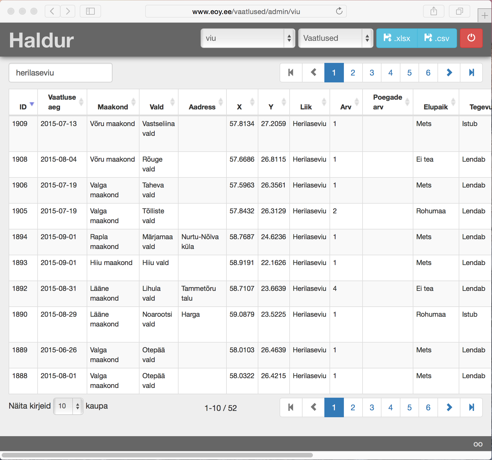
Live example: Bird of the year 2017
If You are interested or want additional information, just contact me here
Mihkel Oviir:2015-09-07